
Spitalfields 1740
This is the view for the start of the book showing the area's layout. I did a lot of research to be as close to how the streets would have looked 280 years ago, using old maps of Georgian London, street elevations and old photos of buildings no longer standing. I used the map to build up a 3d view for a rough layout. Then I started on the line work with a rough pencil, blocks of colour with pastel and finally painting the textures and details with a rough pastel brush. The black and white image at the end is the mask layer for sunshine highlights; it's an interesting drawing with a spooky quality that looks like another world.
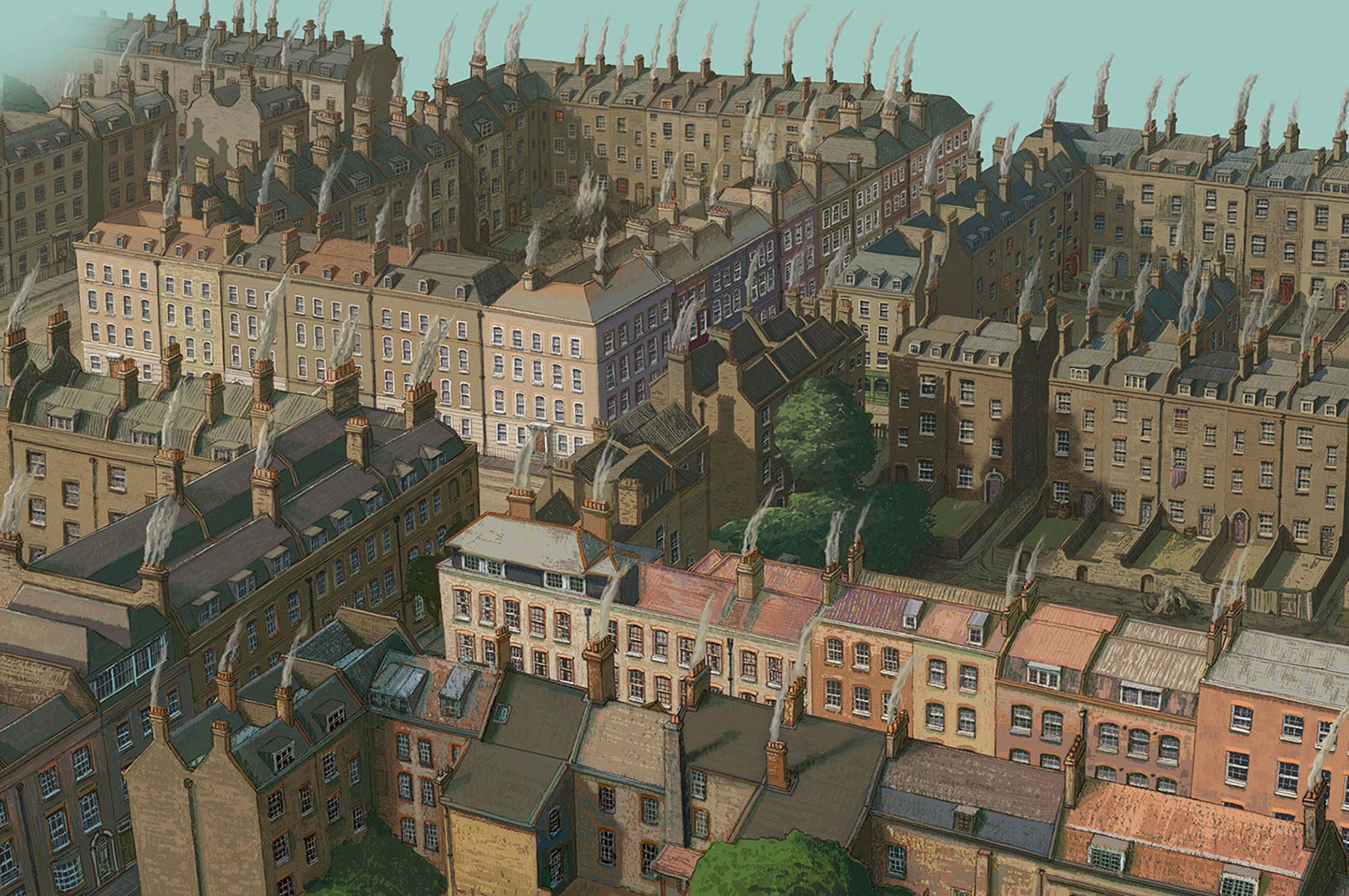
Spitalfields Aerial View - Final Artwork
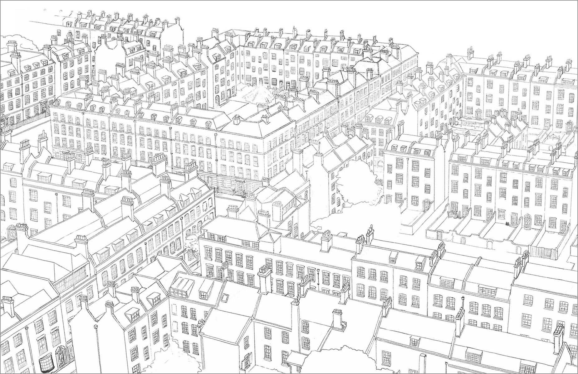
Line Stage
First Colour Stage
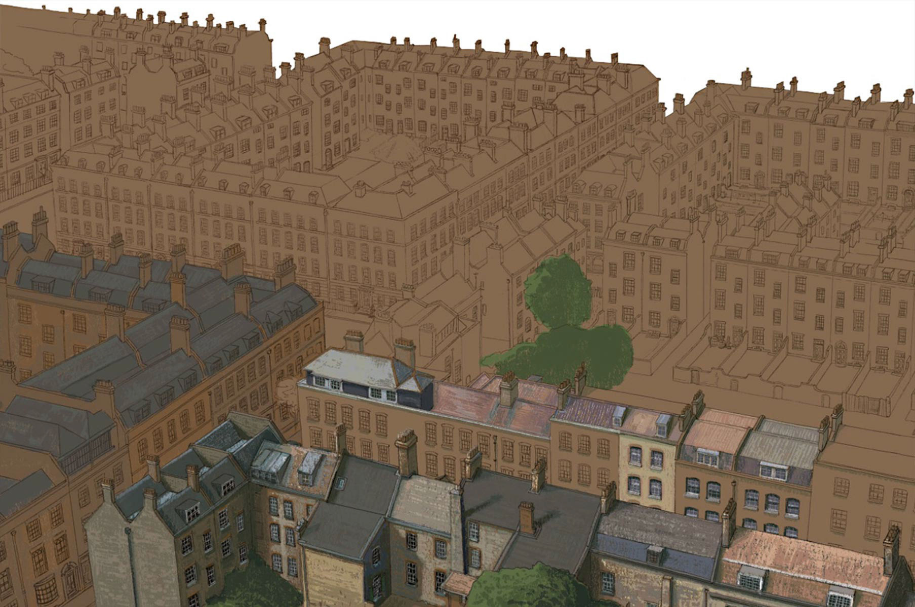
Second Colour Stage
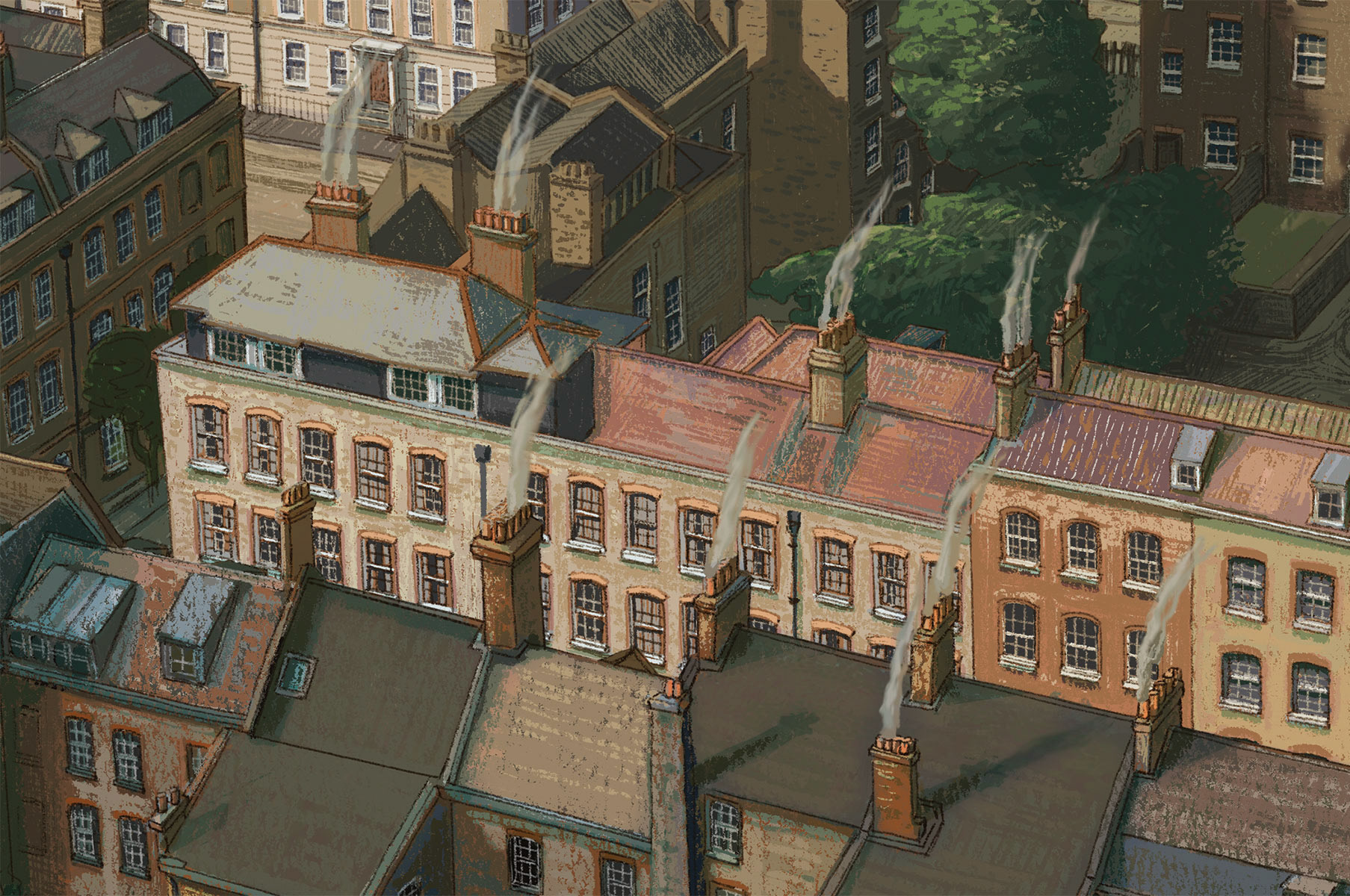
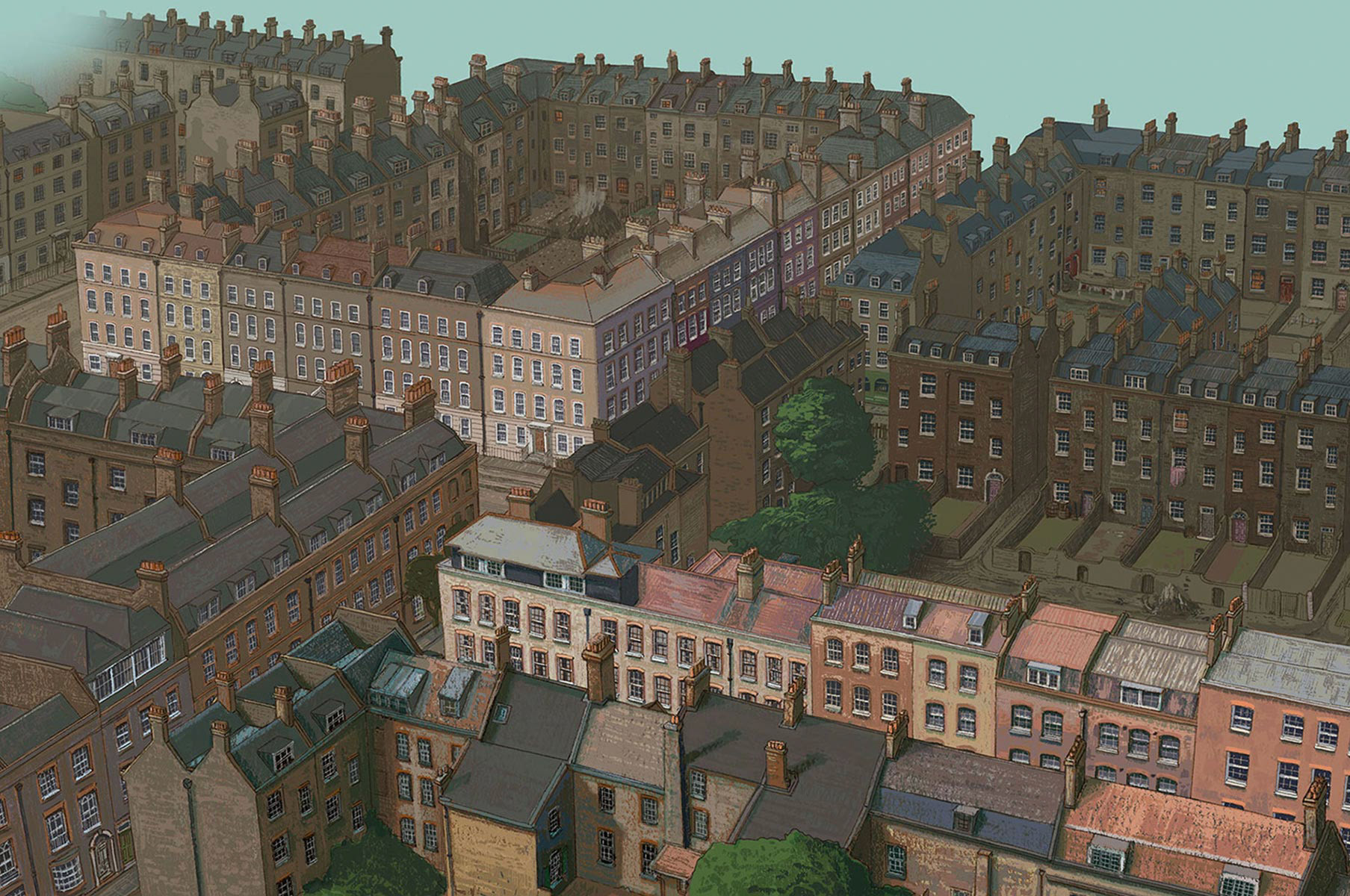
Detail View
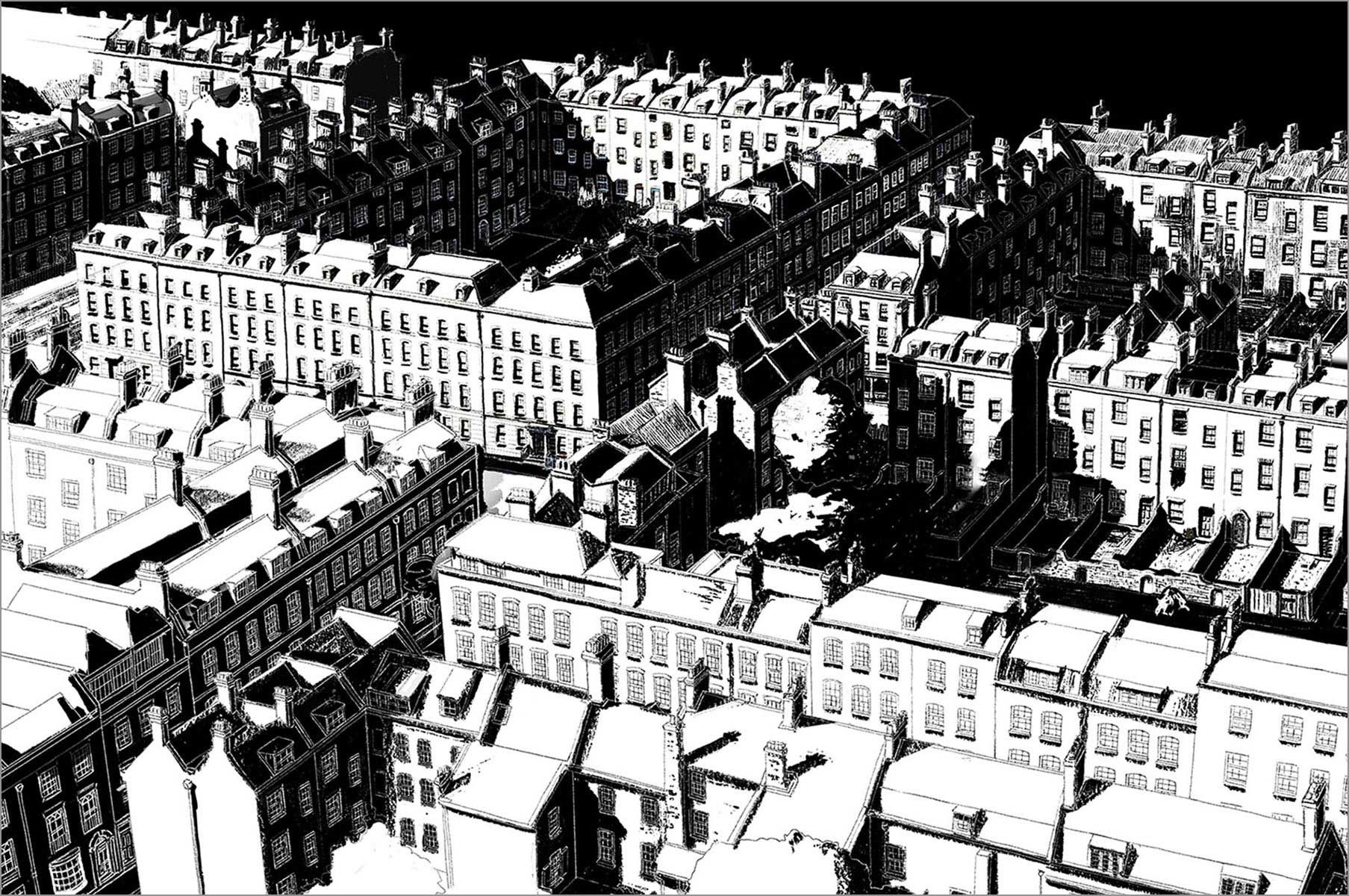
Mask Layer for Highlights
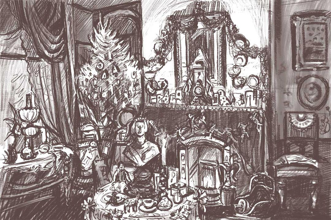
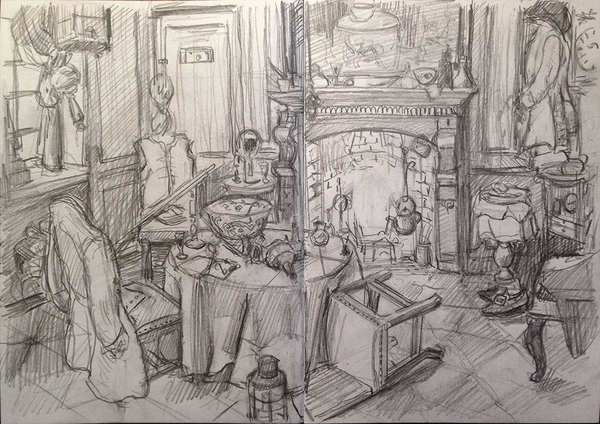
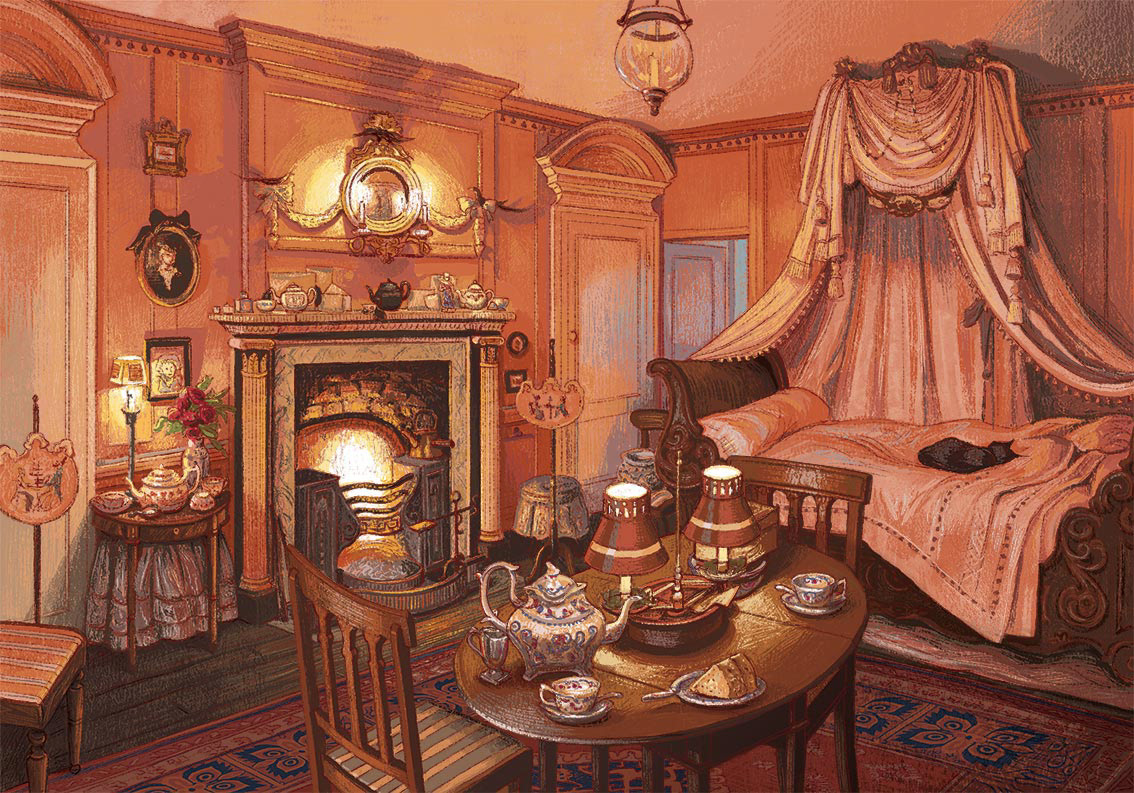
The Ladies' Drawing Room
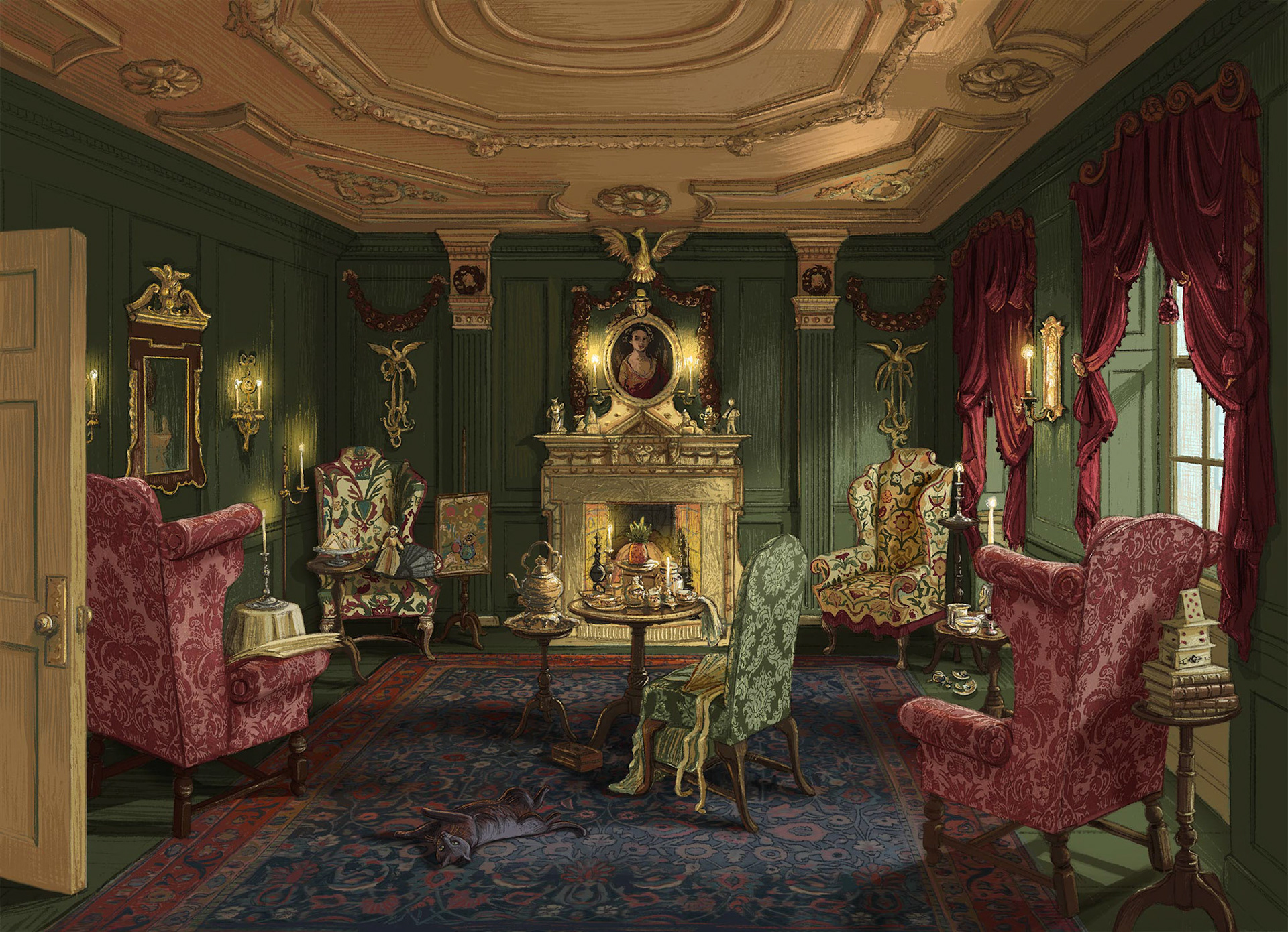
The Ladies' Drawing Room - Final Artwork
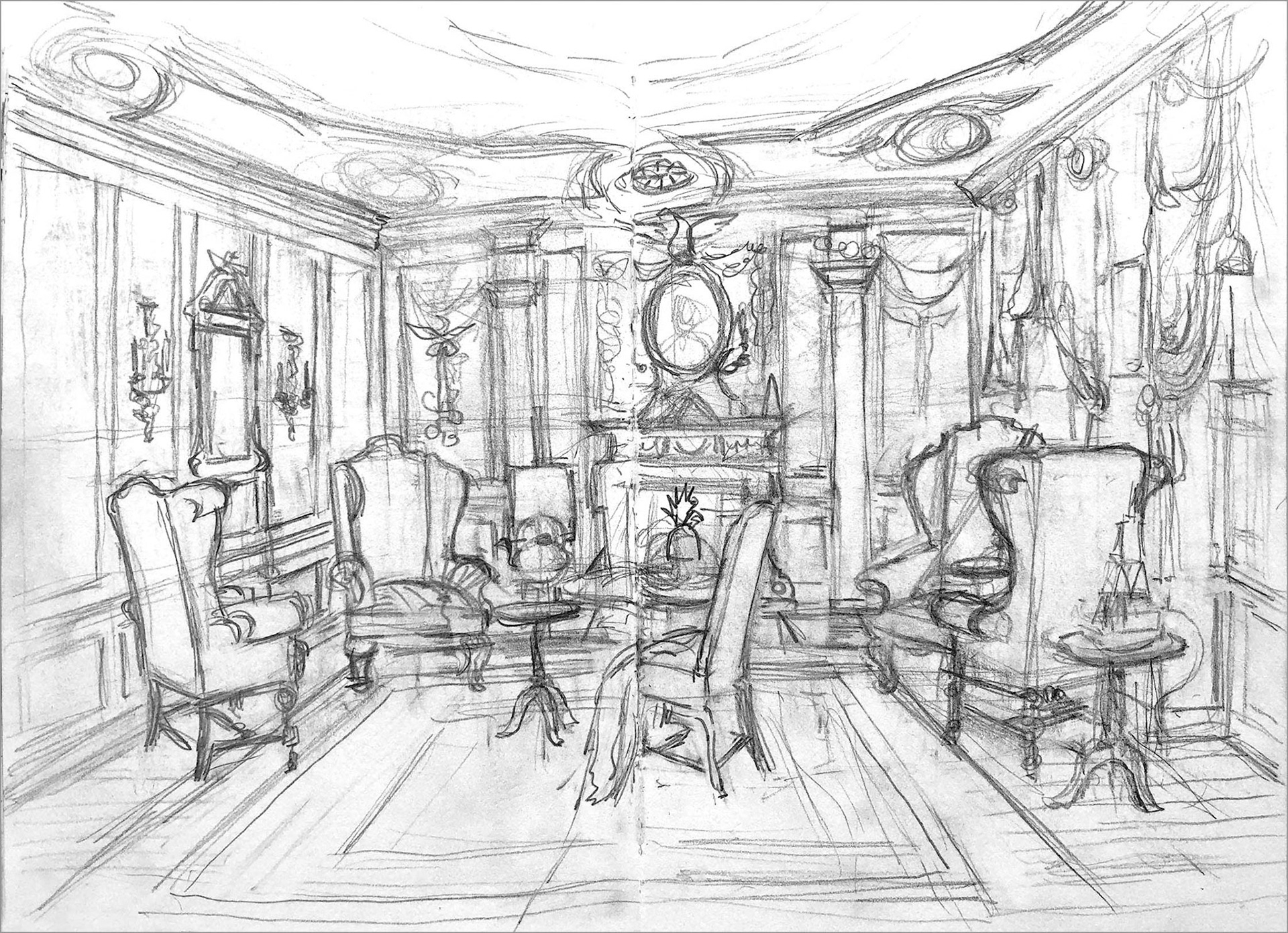
First Sketch
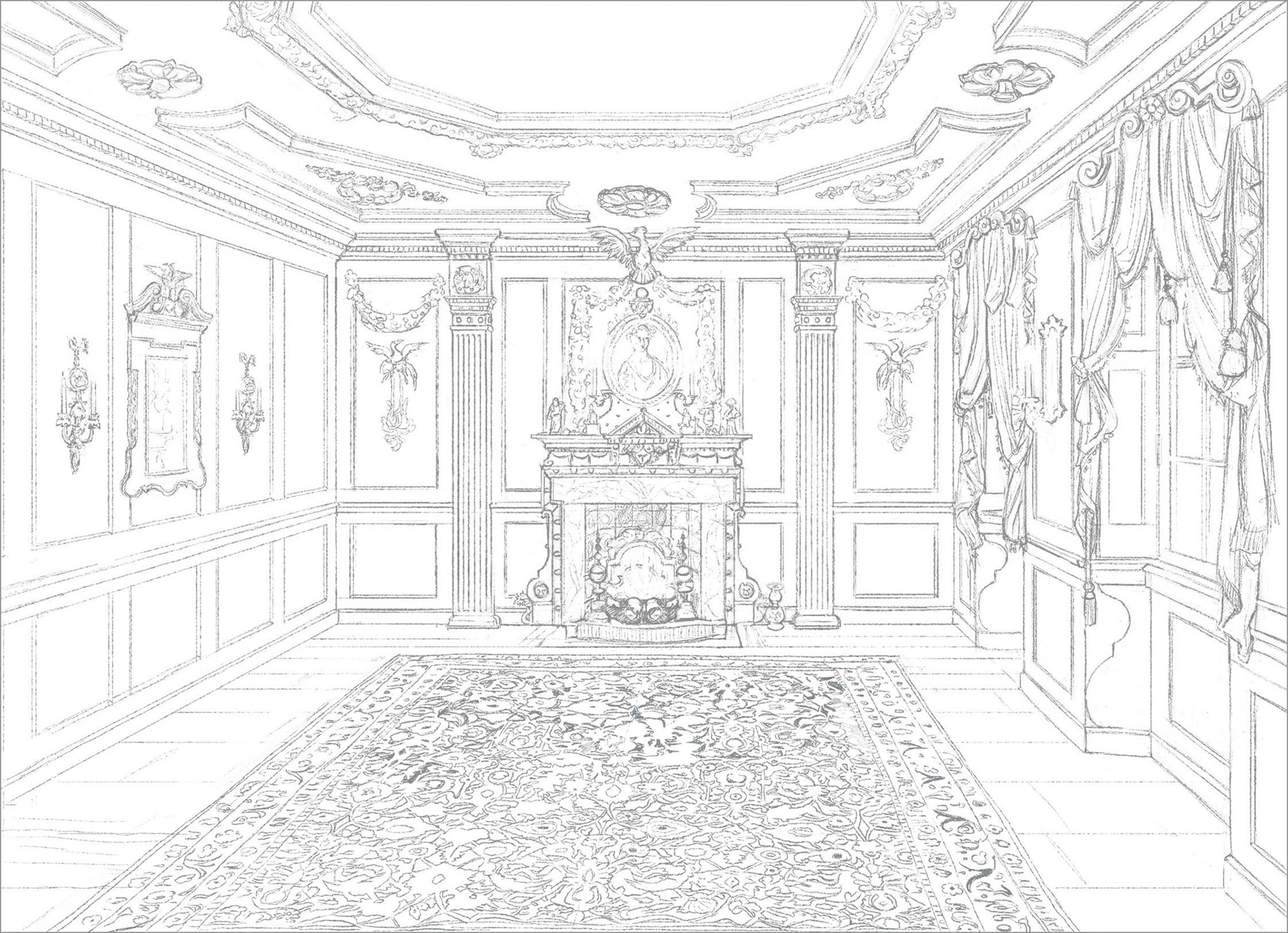
First Line Stage
Second Line Stage
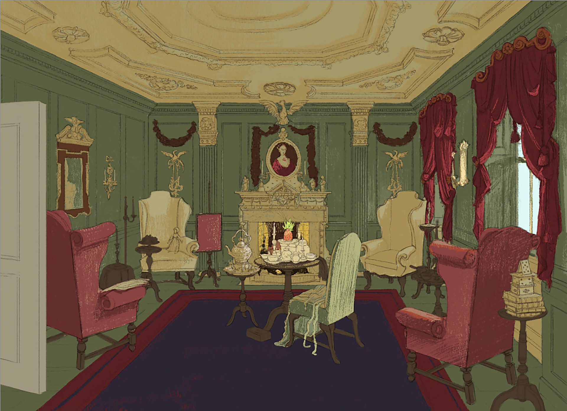
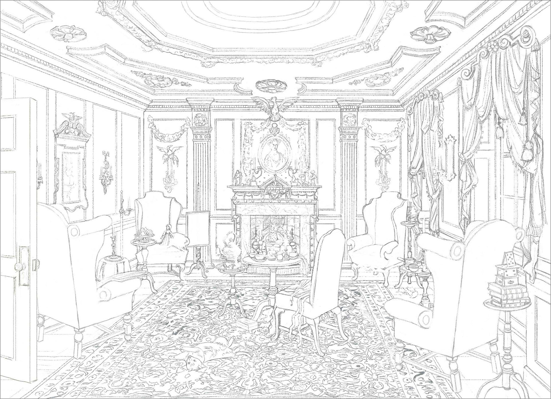
First Colour Stage
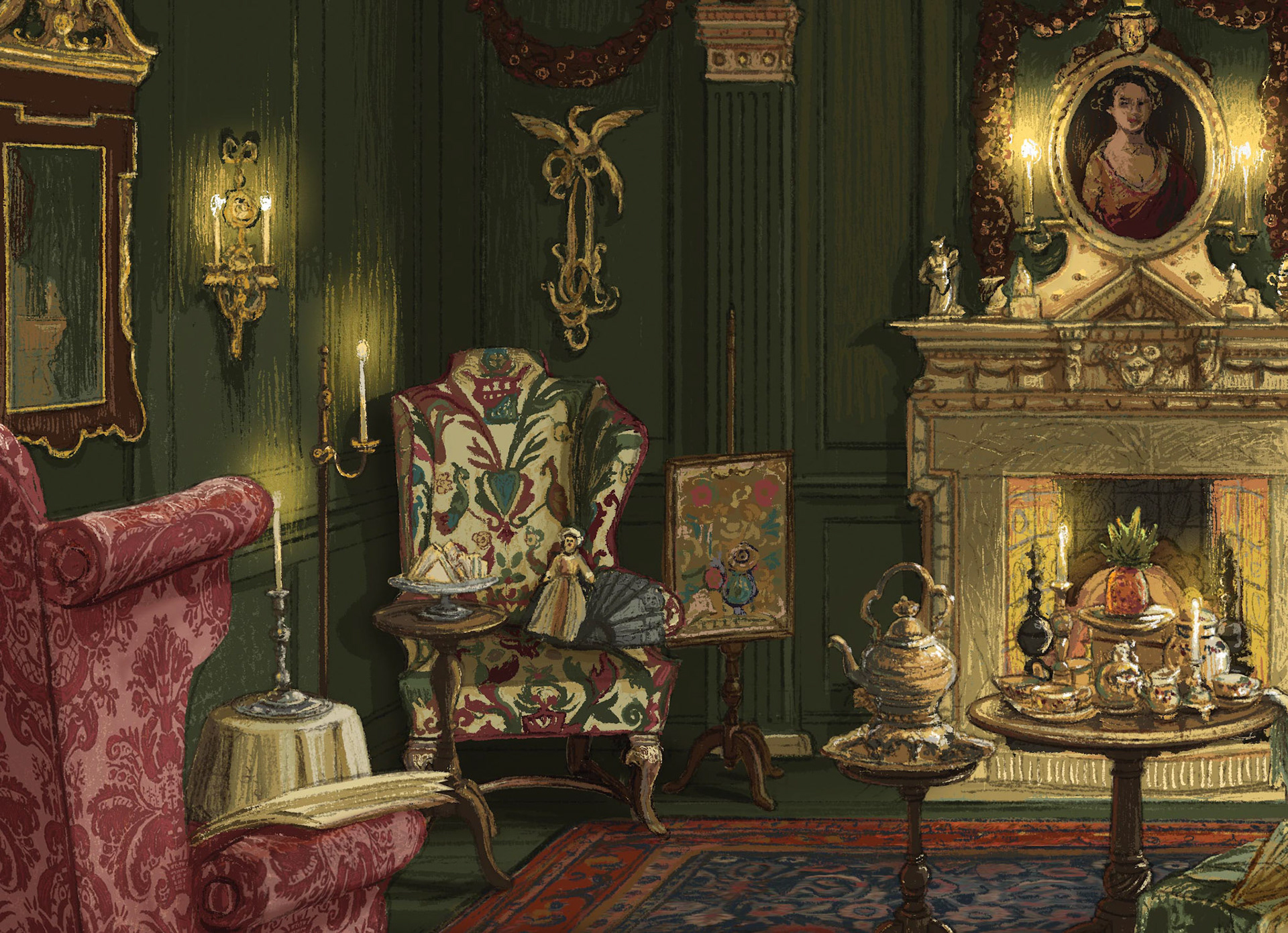
Detail View
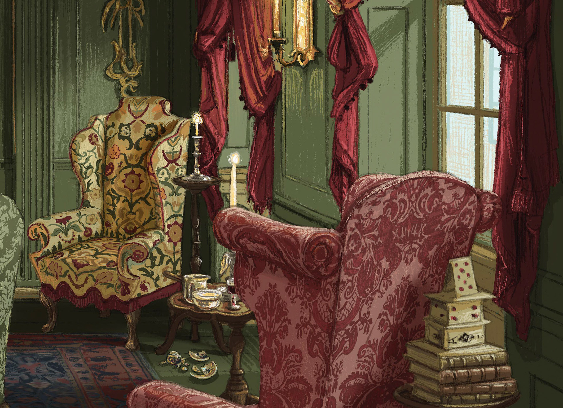
Detail View

Detail View
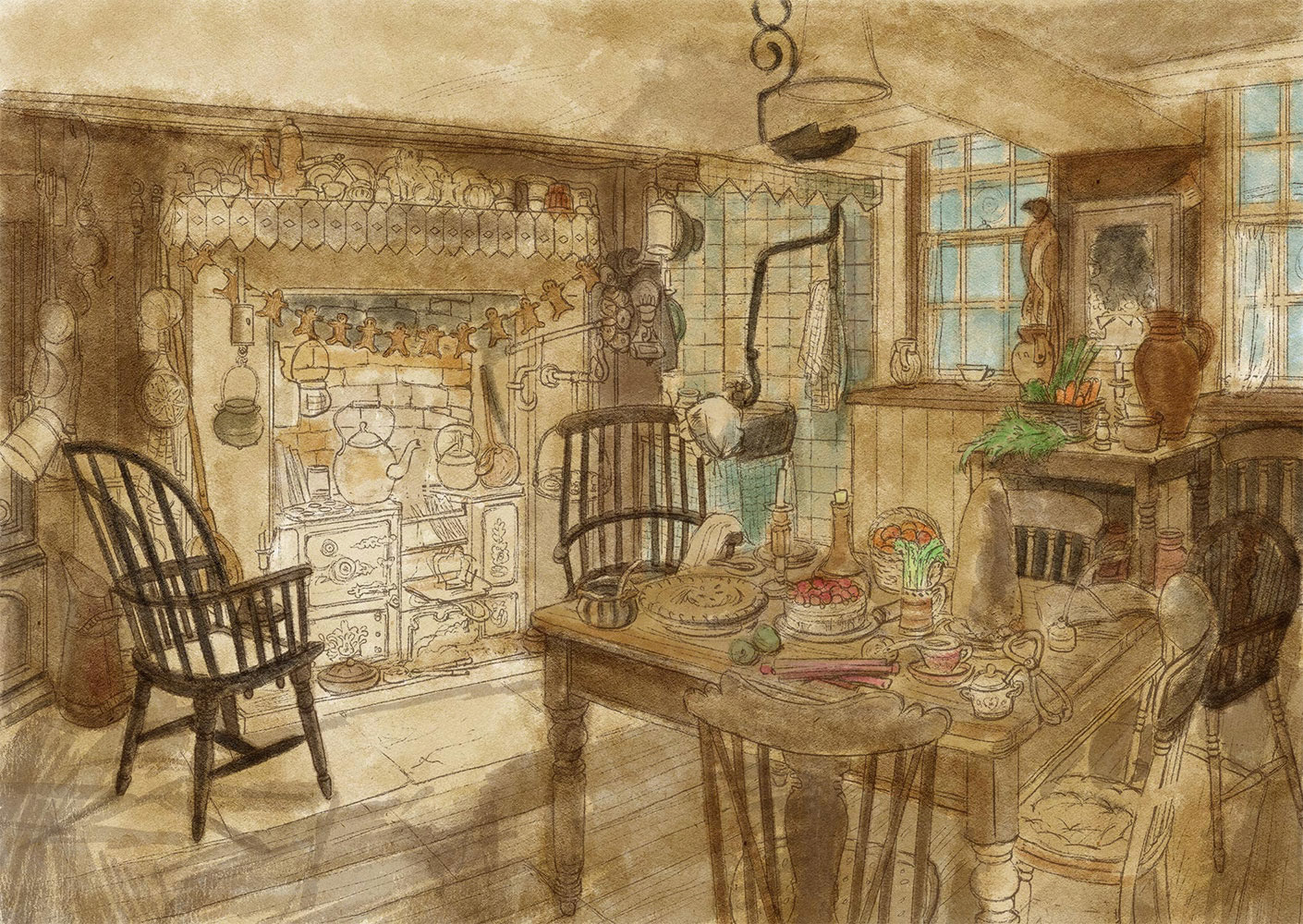
The Kitchen
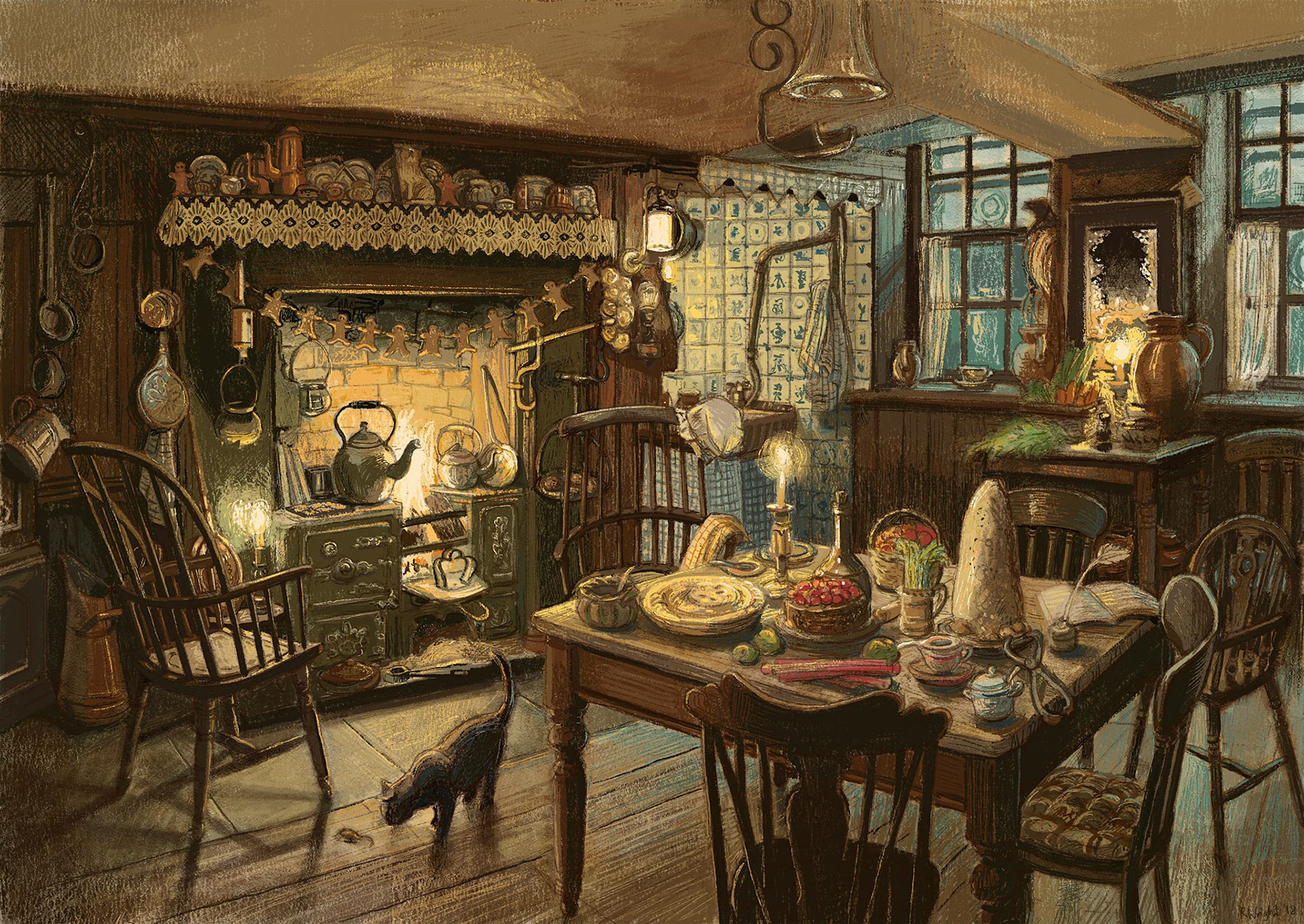
The Kitchen - Final Artwork
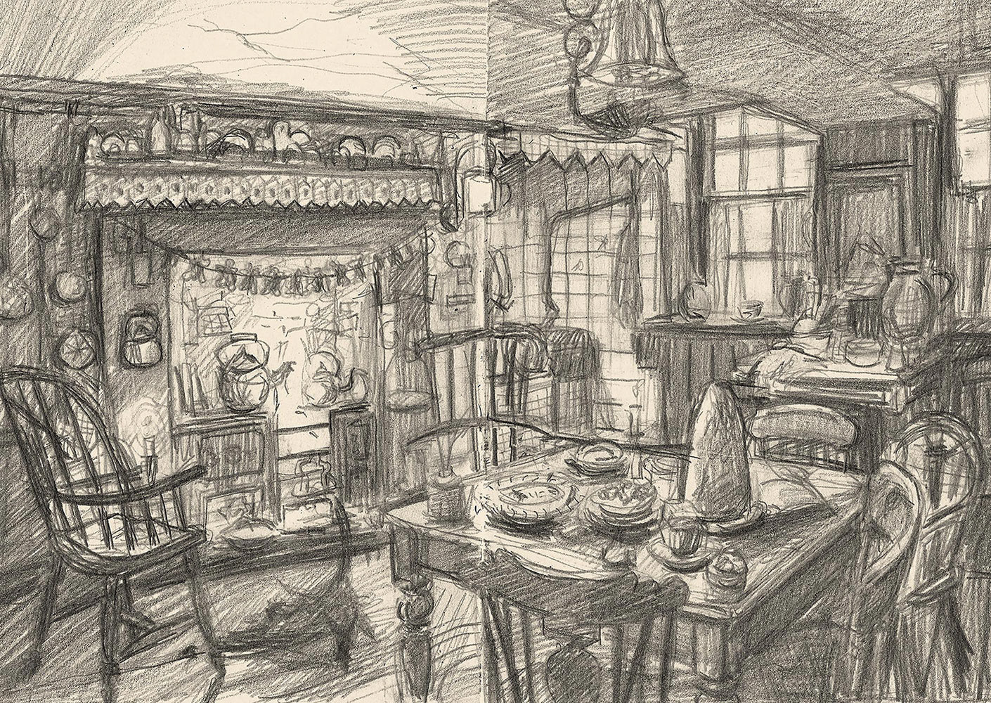
First Sketch
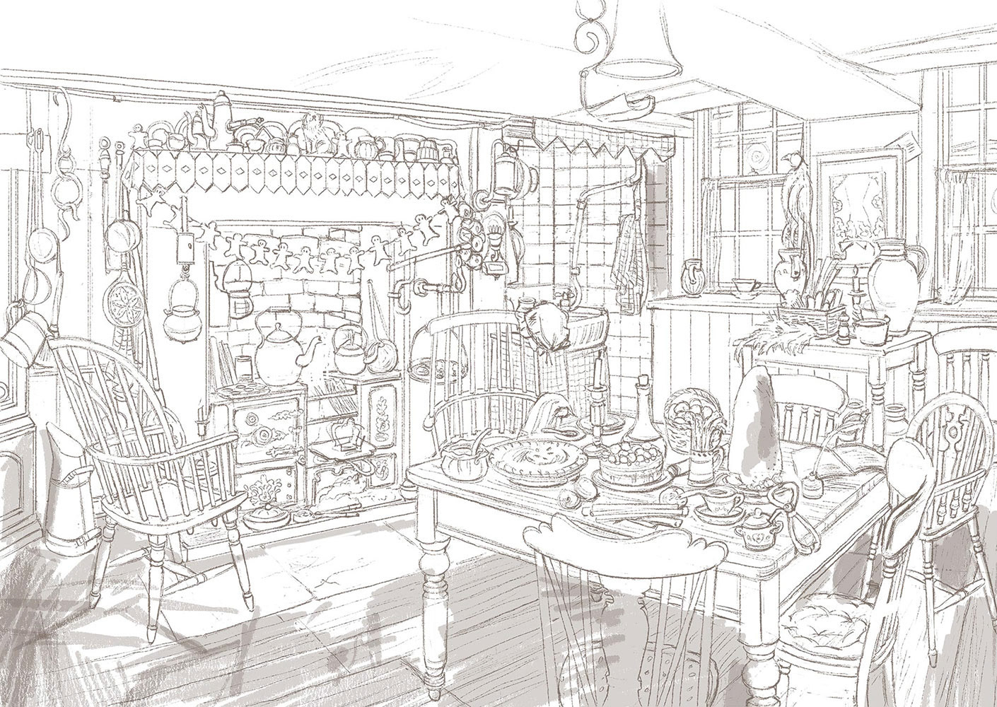
Line Stage and First Shadows
First Colour Stage
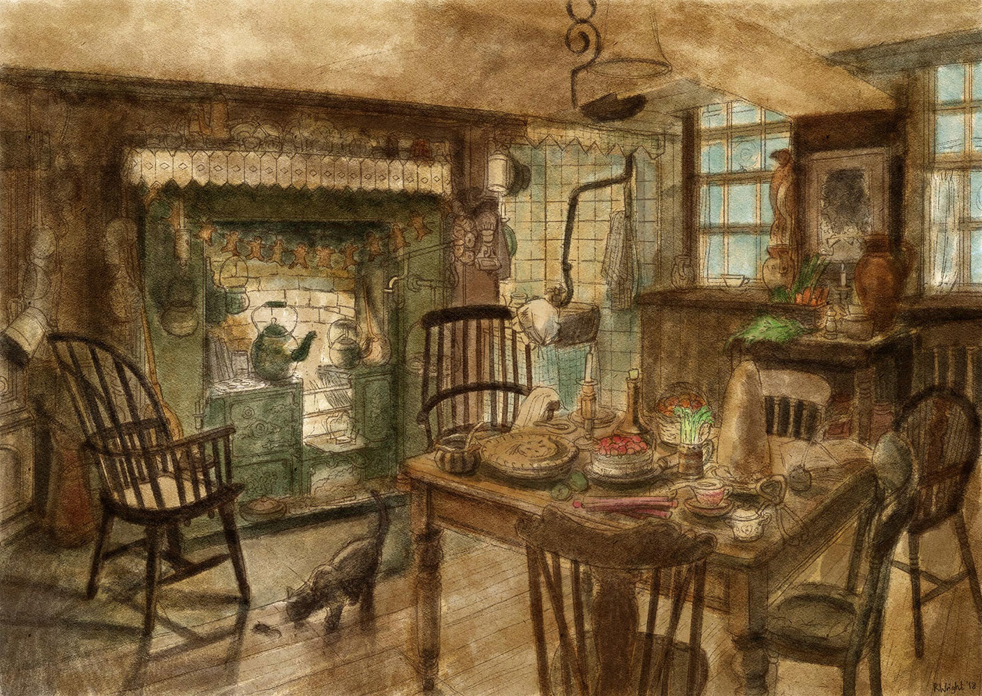
Second Colour Stage
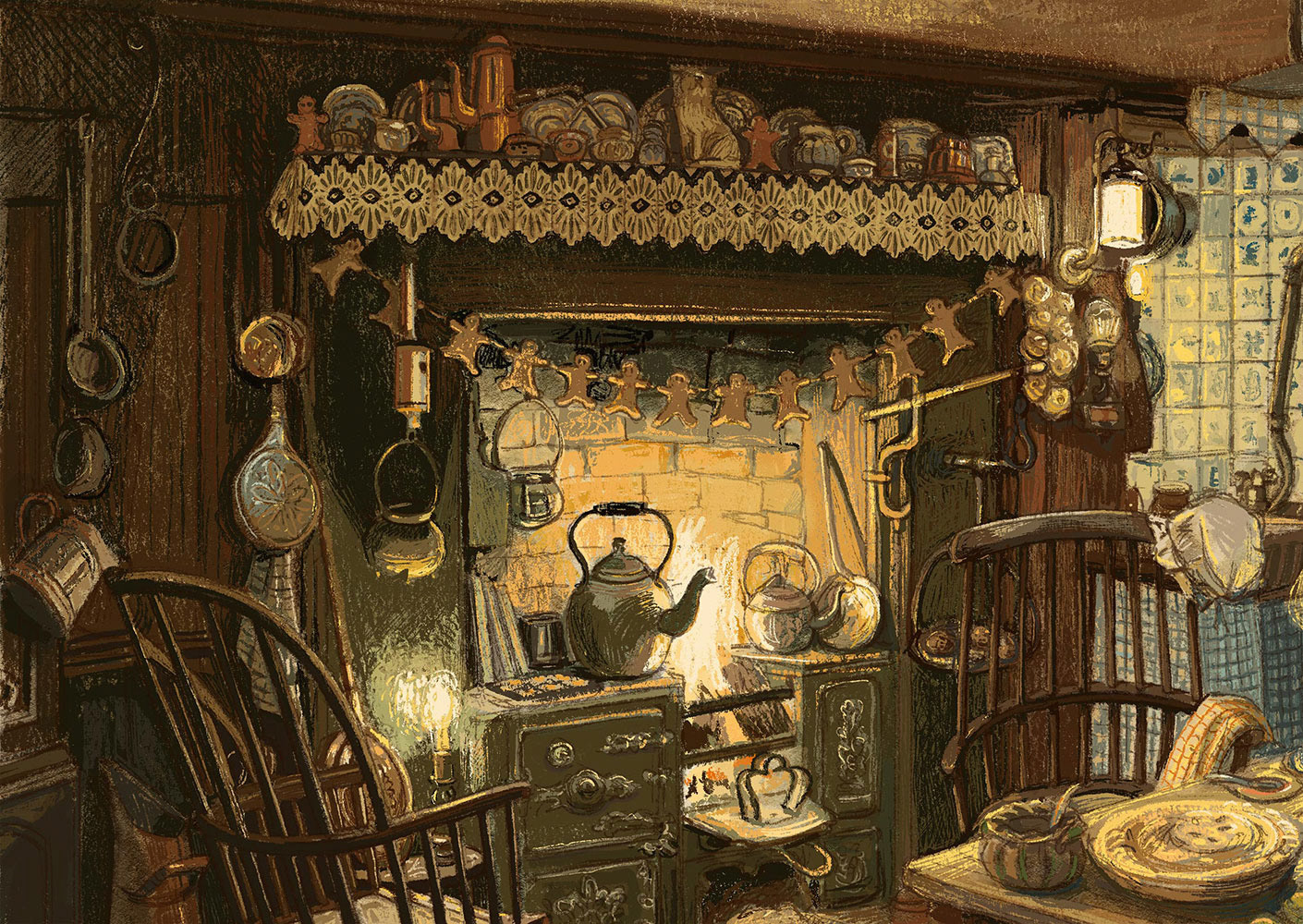
Detail View
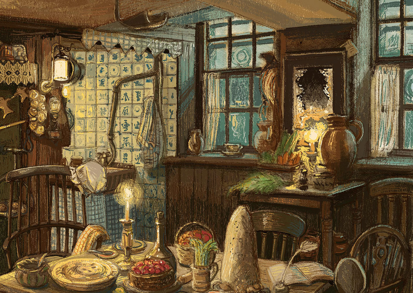
Detail View
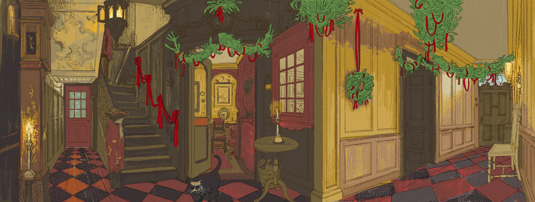
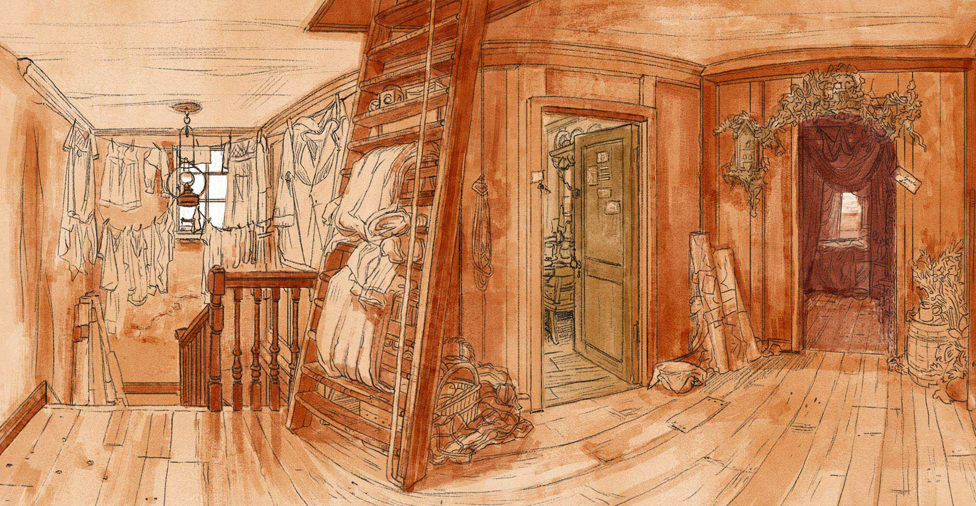
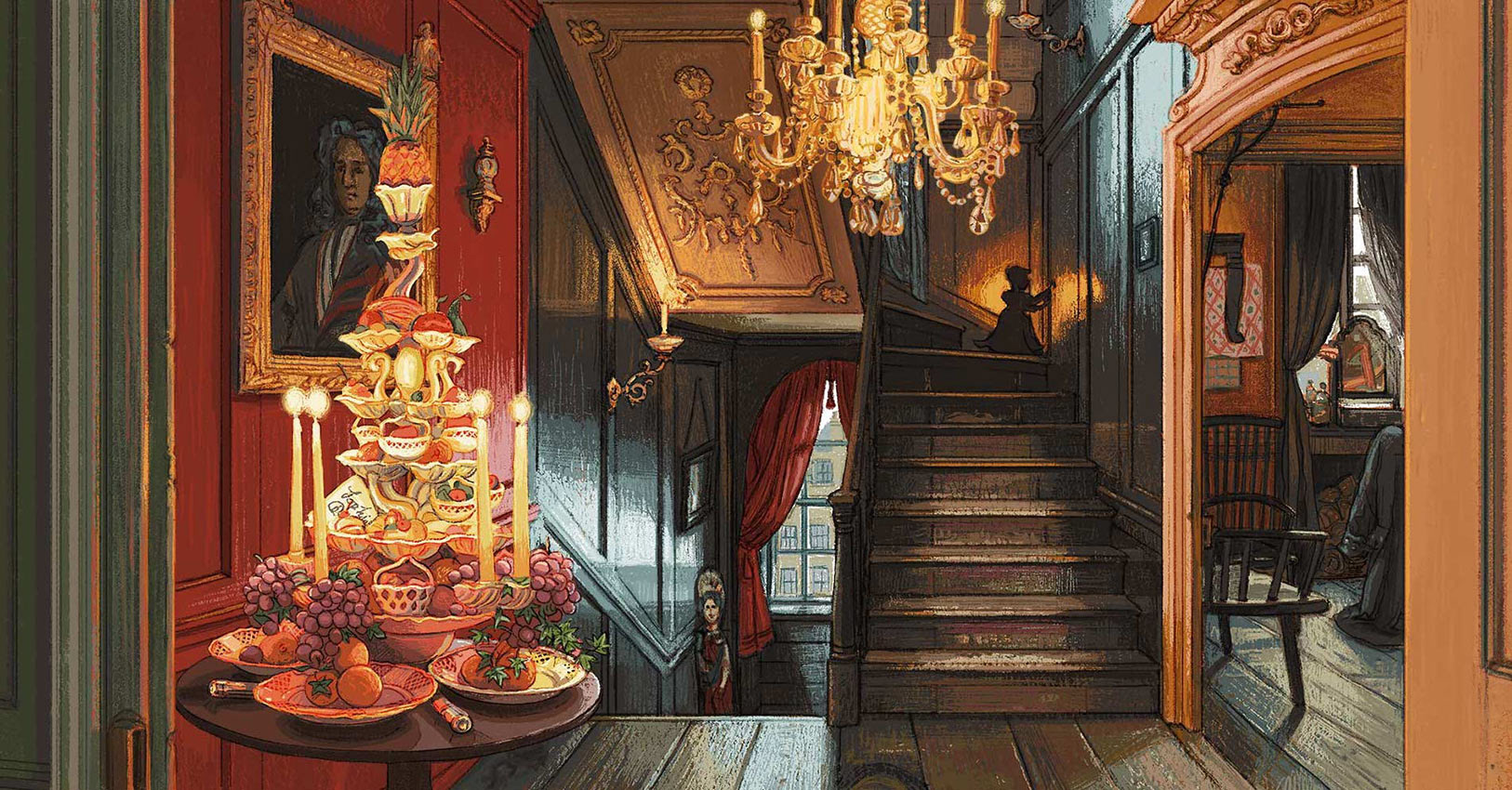
The Hallway
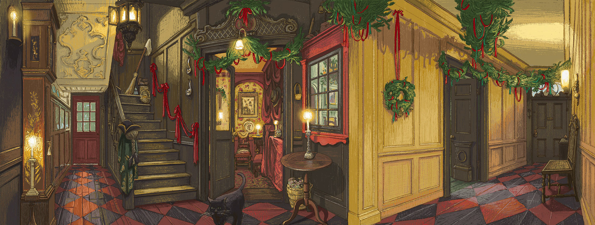
Final Artwork
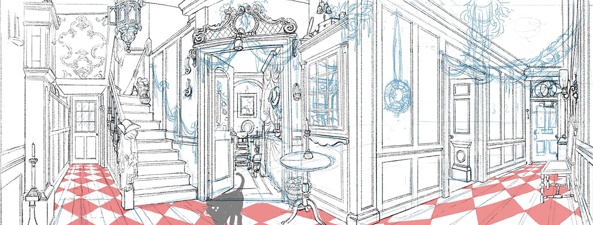
Rough Layout Stage
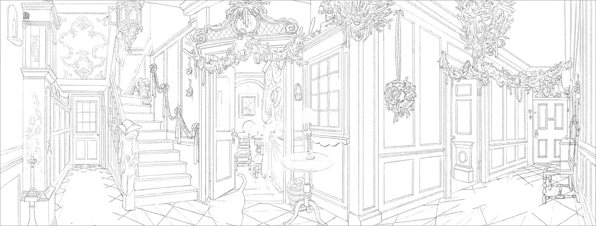
Line Stage
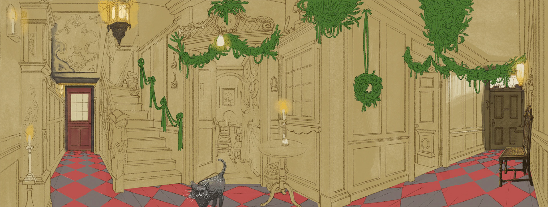
First Colour Stage
Second Colour Stage
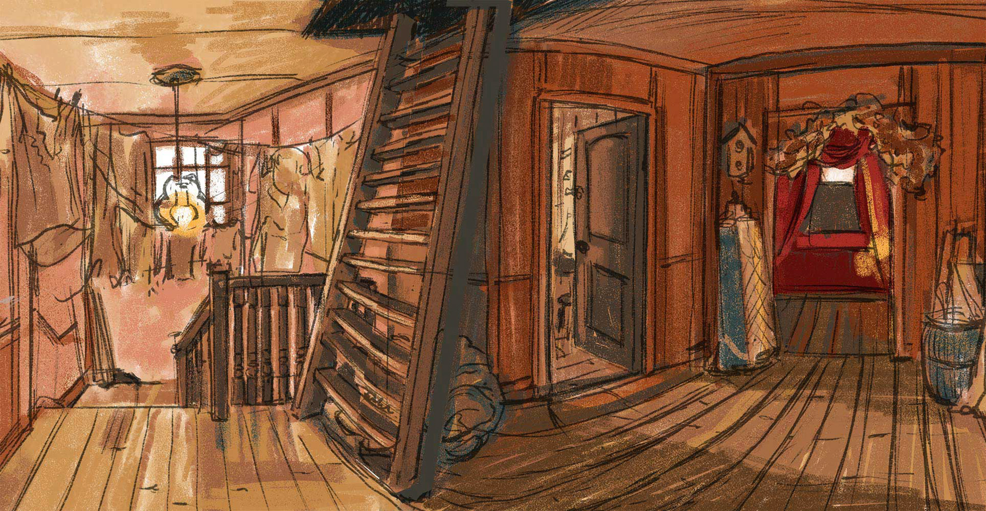
The Third Floor Landing
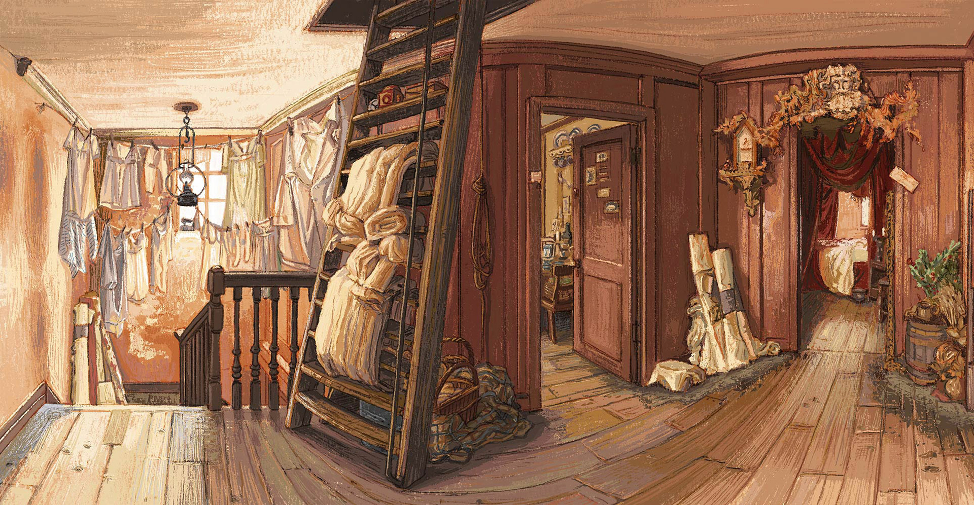
Final Artwork
First Sketch in Procreate
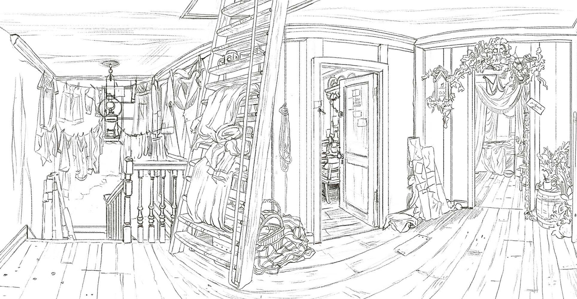
Line Stage
First Colour and Lighting Stage
The Victorian Parlour
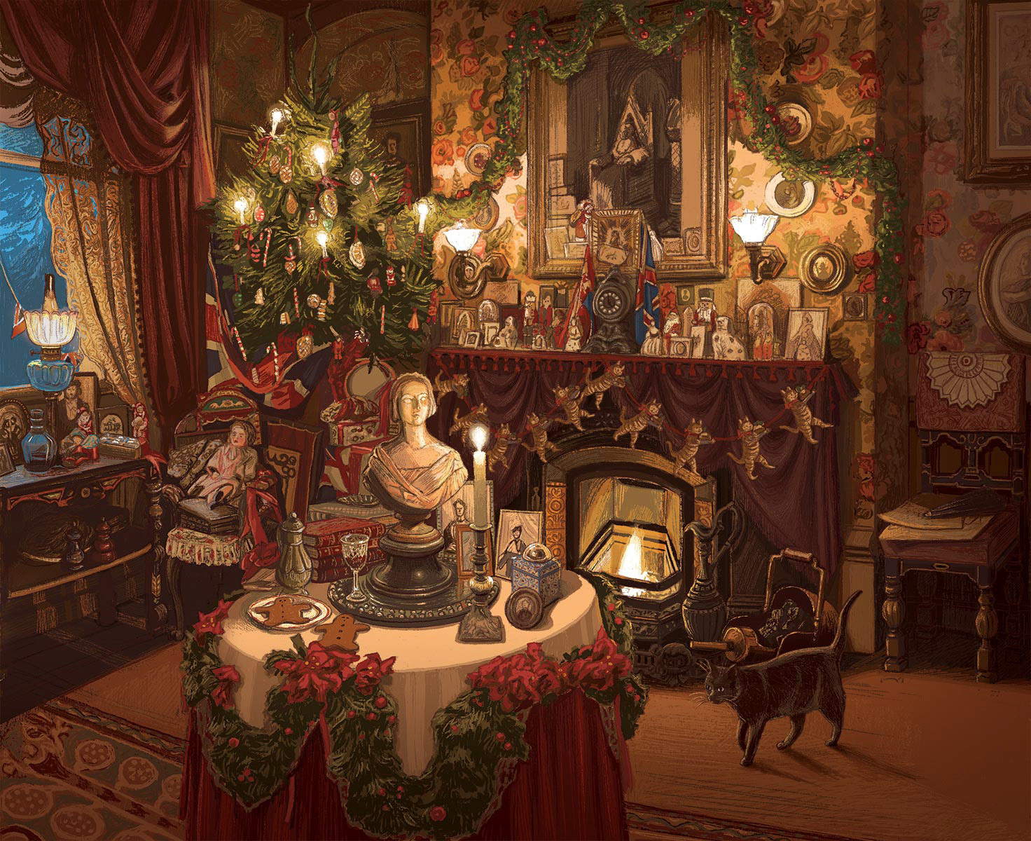
Final Artwork
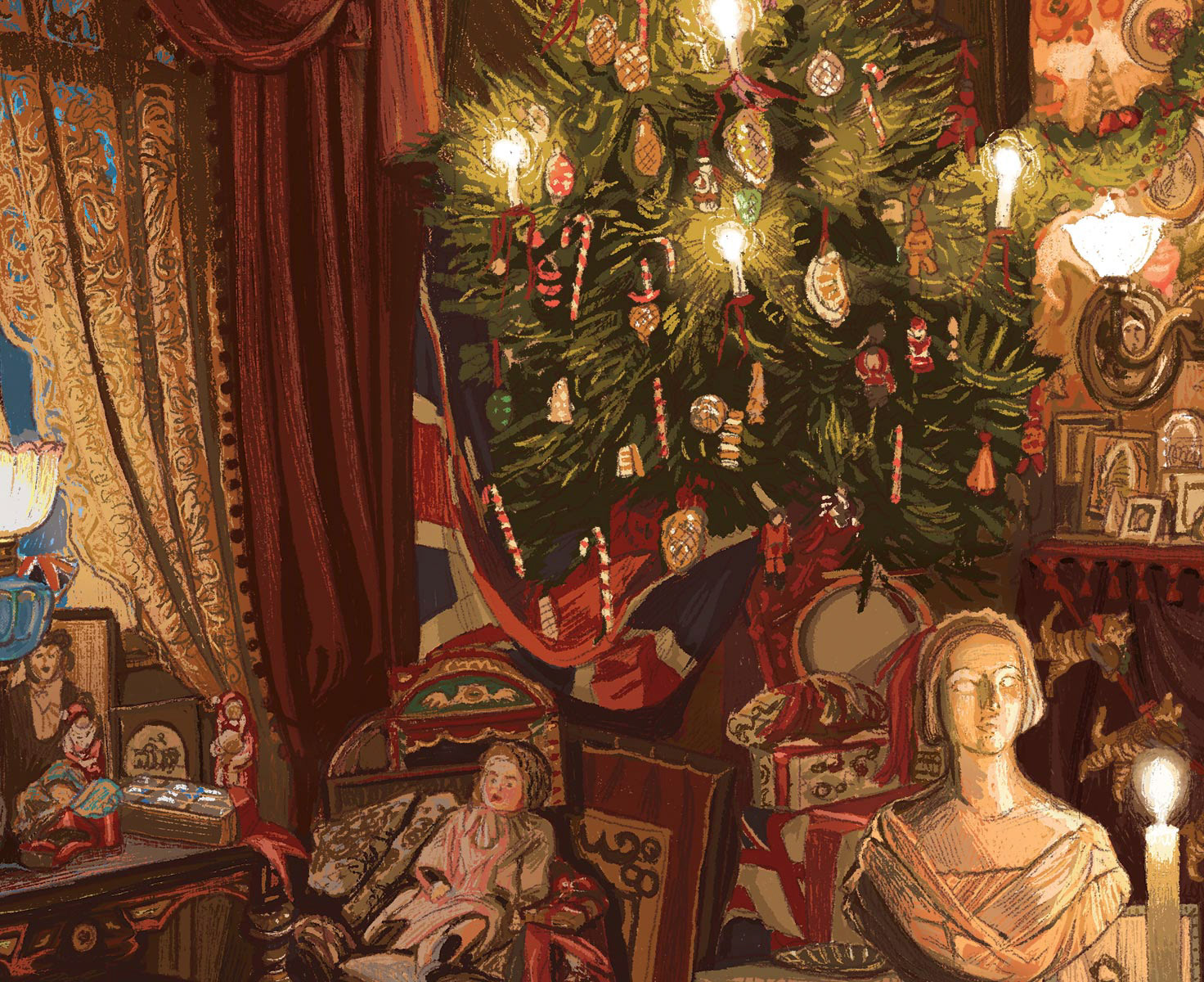
Detail View
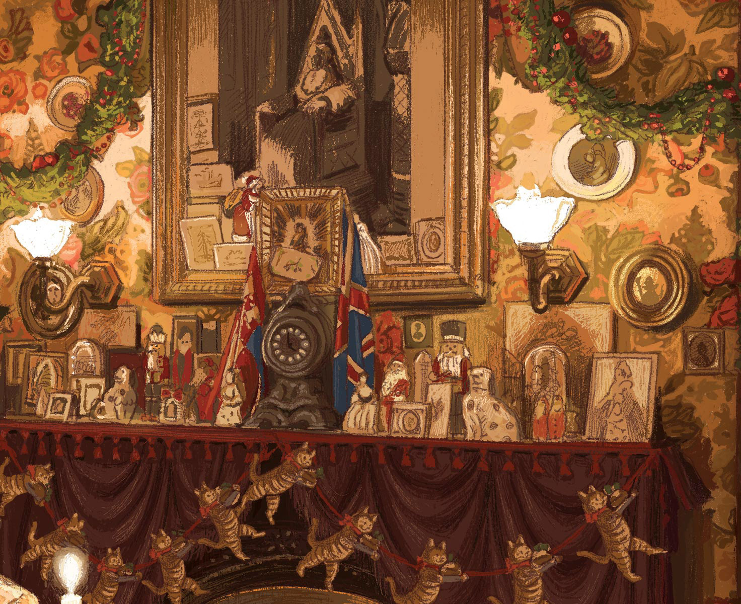
Detail View
First Sketch in Procreate
More Illustrations
The First Floor Landing
The Dickens Room
The Smoking Room
The Smoking Room - First Sketch
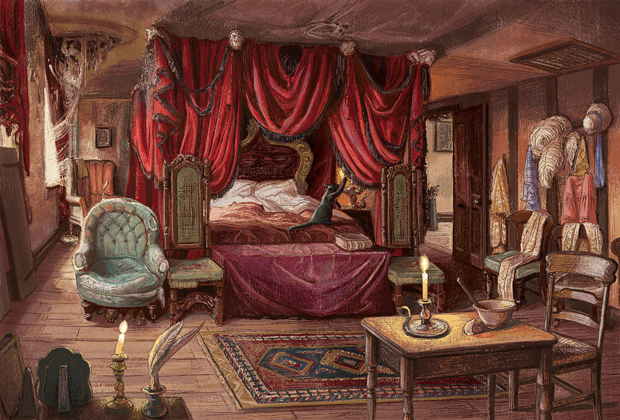
The Regency Bedroom

The Regency Bedroom - First Sketch
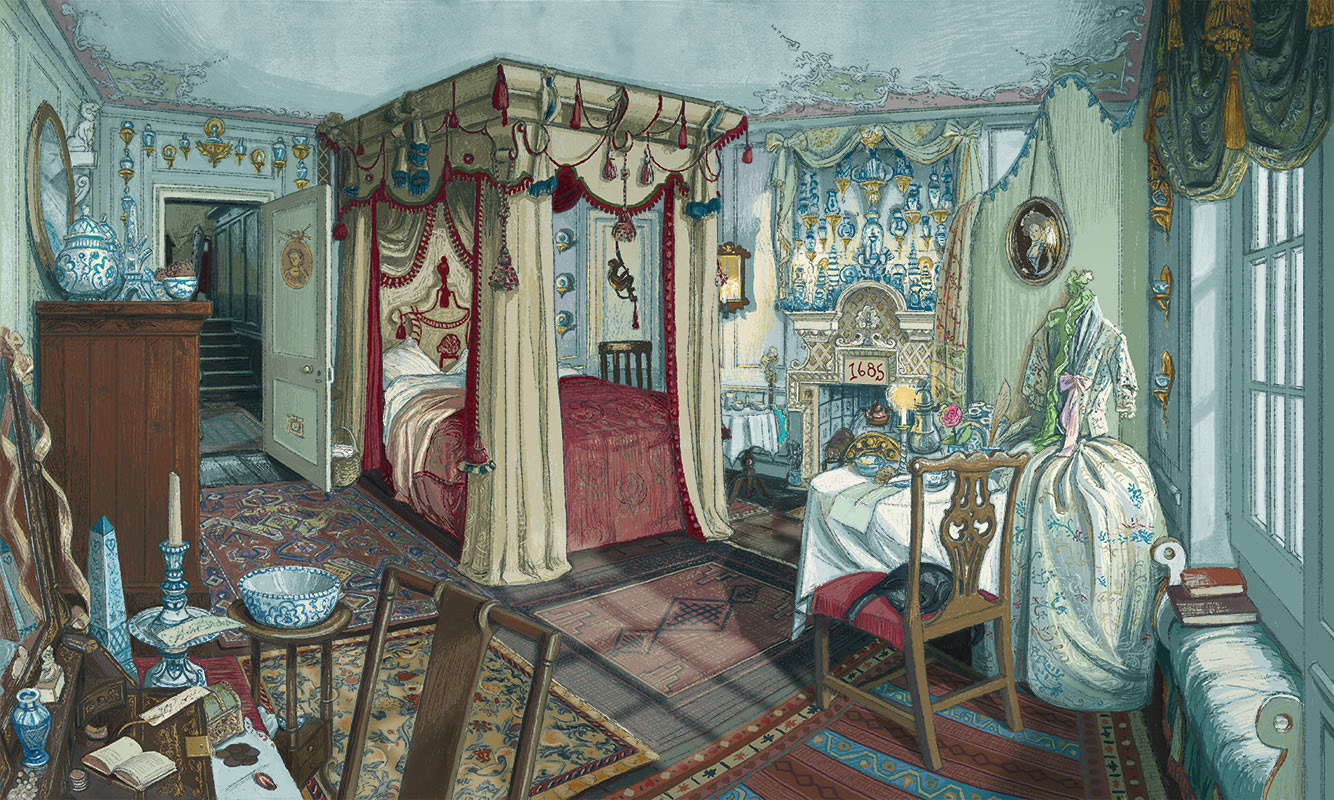
Mrs. Jervis' Bedroom
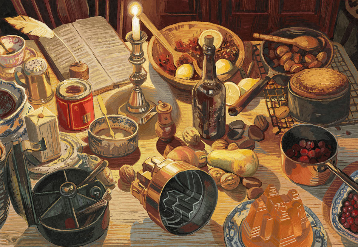
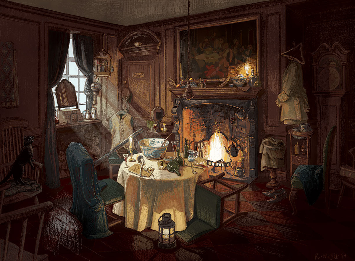
The Kitchen Table at Christmas
Copyright © 2025 Rebecca Wright